
You cannot do this walk without downloading the gps coordinates from the Jordan Trail website. The trail is not marked.
We had no experience using gps or wayfinding like this, but we survived.
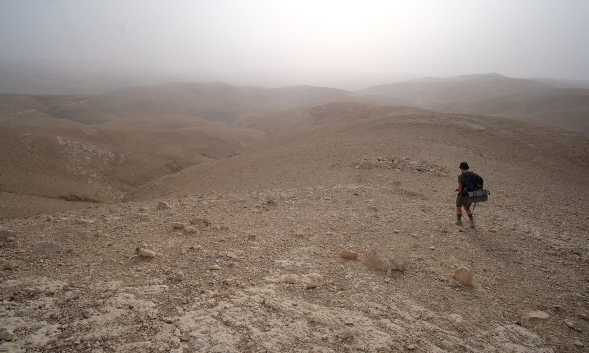
The first couple of days are marked by some red/white paint markers, but these are sometimes difficult to see. The rest of the trail is completely unmarked. Sometimes what seems like a path is actually not even the trail, so it’s not really intuitive.
We downloaded a free GPS app on our phones – it’s called Gaia. It worked well for us – the biggest issue was making sure we had enough battery for our phones, so for extra safety I’d recommend getting an actual GPS device that holds battery for much longer than a phone. We used the app almost all day every day.
We got off track at least once a day because we either stopped looking at the app or couldn’t quite tell if the trail was going up or down so we just had to trial and error. It was part of the fun.
Daily distances
The Jordan Trail website is your best friend. It has broken down information on all of the sections on the Jordan Trail. We collated the information into a pdf and printed it to have a rough plan of the route.
In the desert where water is sparse and you are reliant on water drops, you will need to plan your route carefully.
Some days we walked further than advised, some less.
Wild camping is permitted across Jordan so there is some flexibility. But note the northern stages are more populated so finding a private spot may be tricky!